Historical Cartography · Georeferencing · Digitization
Digitized Wilderness Areas
Reconstructing a 1940-era wilderness map as editable geographic data while preserving the character of the original.
Dylan Nordeck · Cartography & GIS
 Open the full-size map ↗
01 / The idea
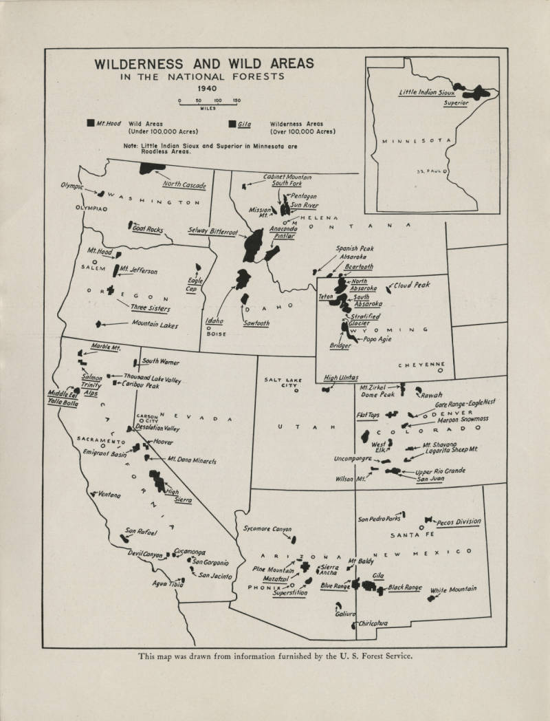
This project started with Wilderness and Wild Areas in the National Forests (1940), drawn from information furnished by the U.S. Forest Service. I found the original through Denver Public Library and wanted to recreate it in a way that kept its character, while bringing in wilderness-area data from 2024 so the two could be compared.
Source: Denver Public Library ↗02 / Rebuilding the map
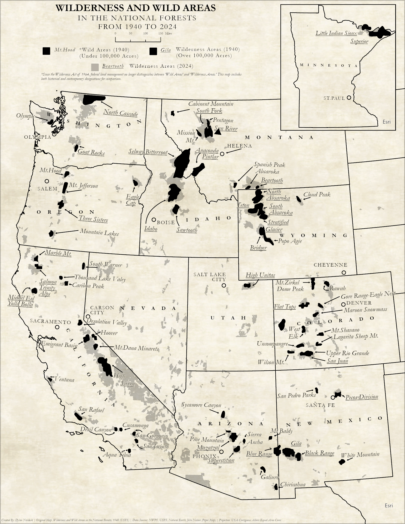
I georeferenced the scanned map to align it with real-world coordinates, then used it as a reference to recreate the historical boundaries and other mapped features.
Once I had rebuilt those features, I added the 2024 wilderness areas. That gave me both periods to work with as I put the map together.
03 / Keeping the original feel
I kept the historical areas in black and used a lighter gray for the 2024 areas. That makes it possible to follow the older boundaries while still seeing how they compare with the newer ones.
The italic labels, paper-like background, and Minnesota inset help carry the original map’s style into the new version. I wanted the added information to feel at home in that design.
04 / The finished map
The finished map puts the 1940 and 2024 areas together, so you can look from one region to another and see where their boundaries overlap or differ. The dates and labels matter here: each layer reflects how those areas were mapped and described at the time.
Seeing this map beside the original is one of the most satisfying parts of the project for me. You can recognize where it came from, then look a little closer and see what the newer information adds.
Recreated · 1940–2024
Cartography by Dylan Nordeck.
Select either map to open the full-size image in a new tab.