I’m a GIS analyst and cartographer focused on clear, intentional map design. My work sits at the intersection of spatial analysis, visual communication, and accessibility, with an emphasis on maps that are both functional and thoughtfully composed.
This portfolio includes a mix of cartographic projects, exploratory analyses, and web-based mapping work. Most of these projects were created in public land management and academic contexts, where clarity, accuracy, and usability matter more than visual noise.
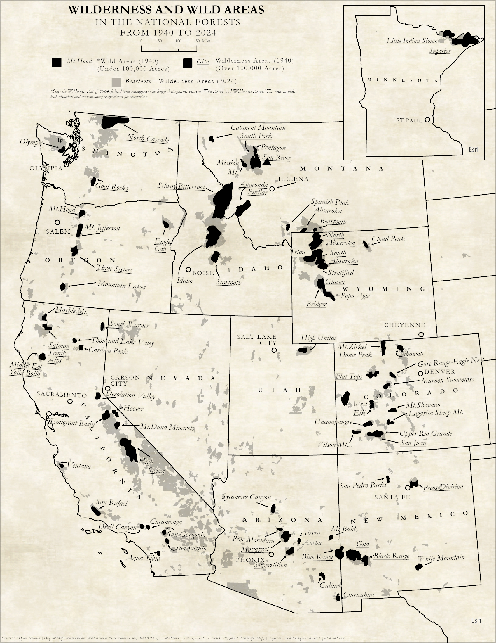
A digital reinterpretation of a 1940s wilderness map, created through manual digitization of original boundaries and labels. The project focuses on preserving the visual language of the source material while adapting it for modern digital display.Design decisions emphasized typographic clarity, restrained color, and subtle texture to reflect the original printed map without overwhelming the underlying geography.
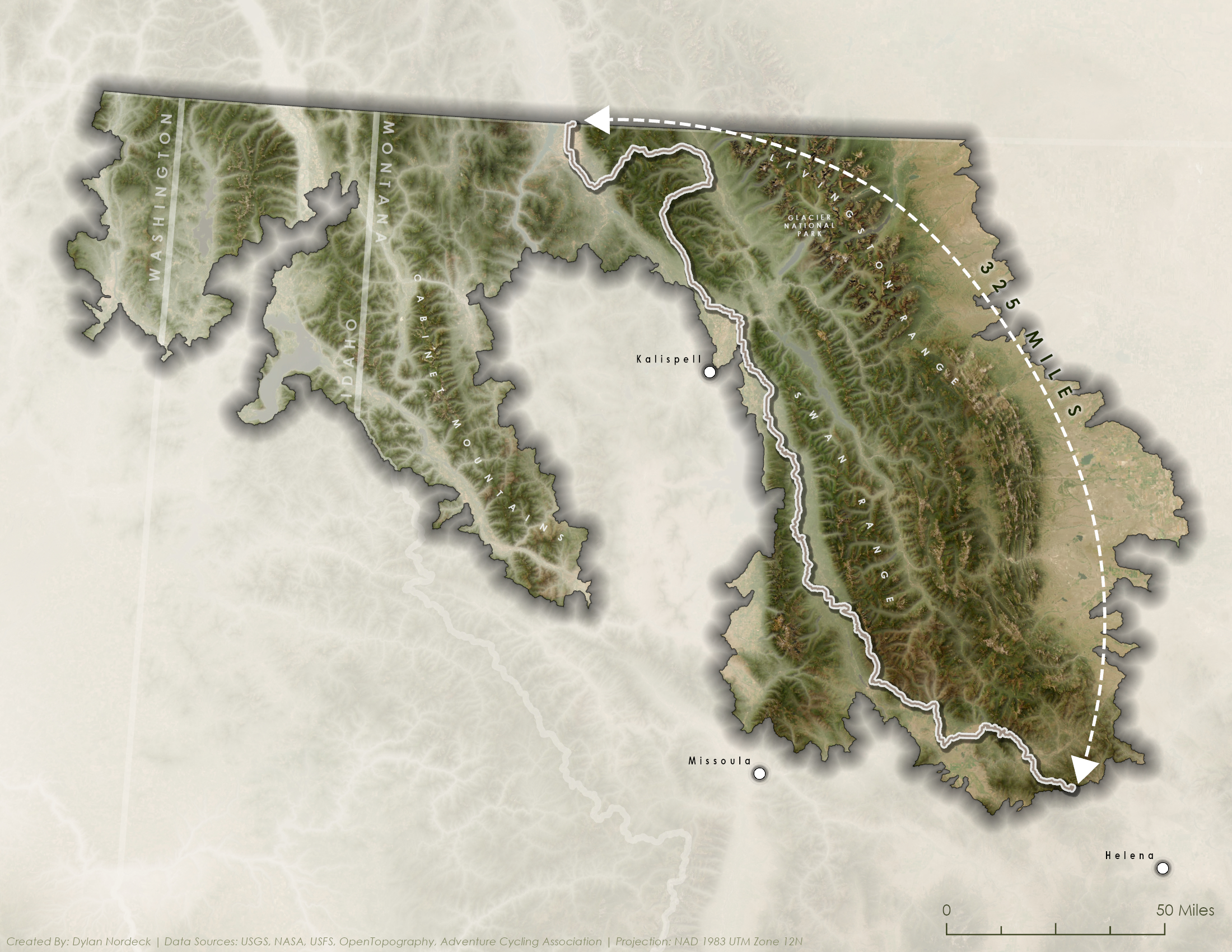
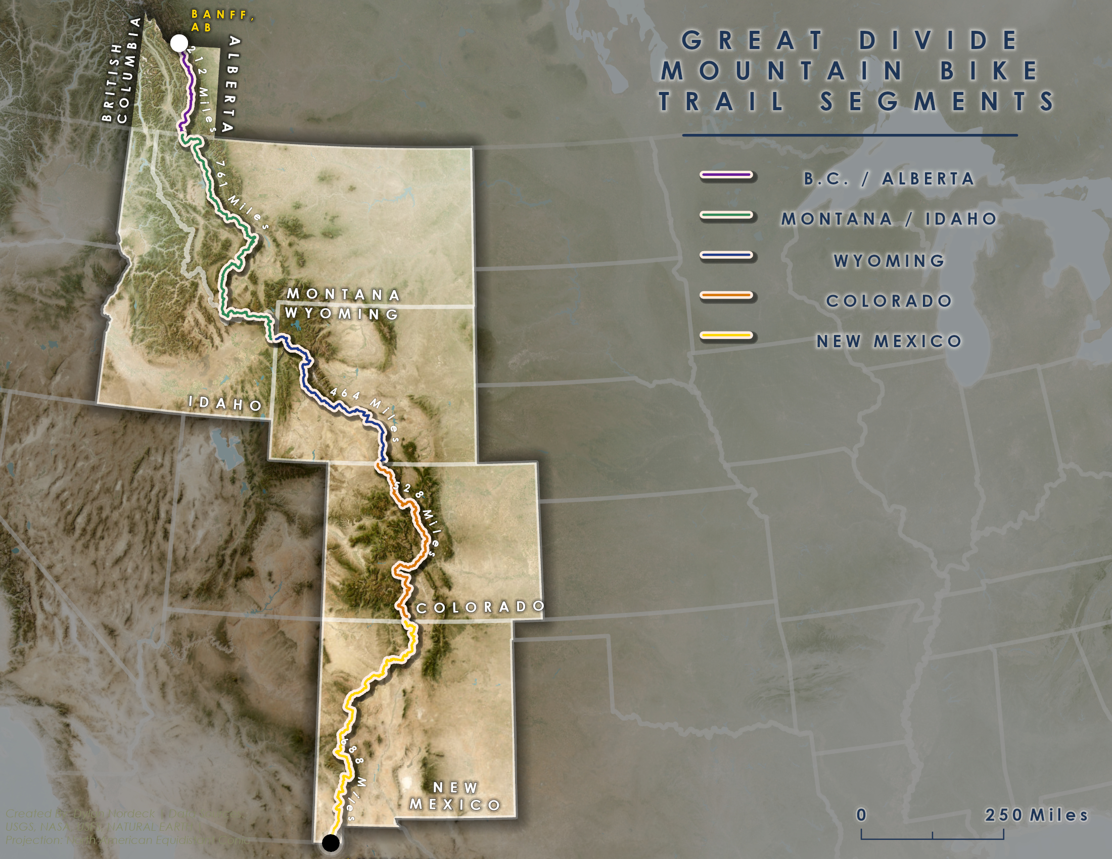
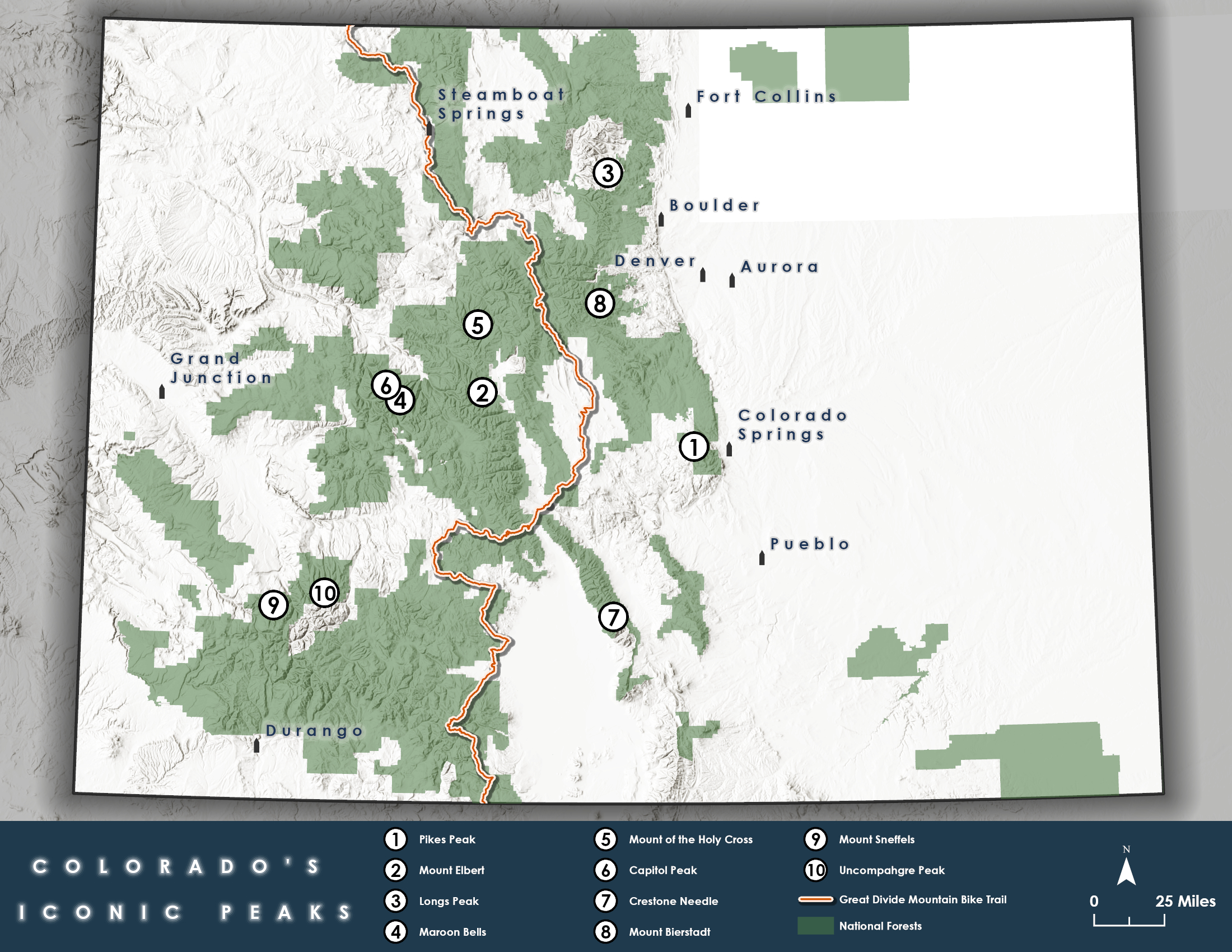
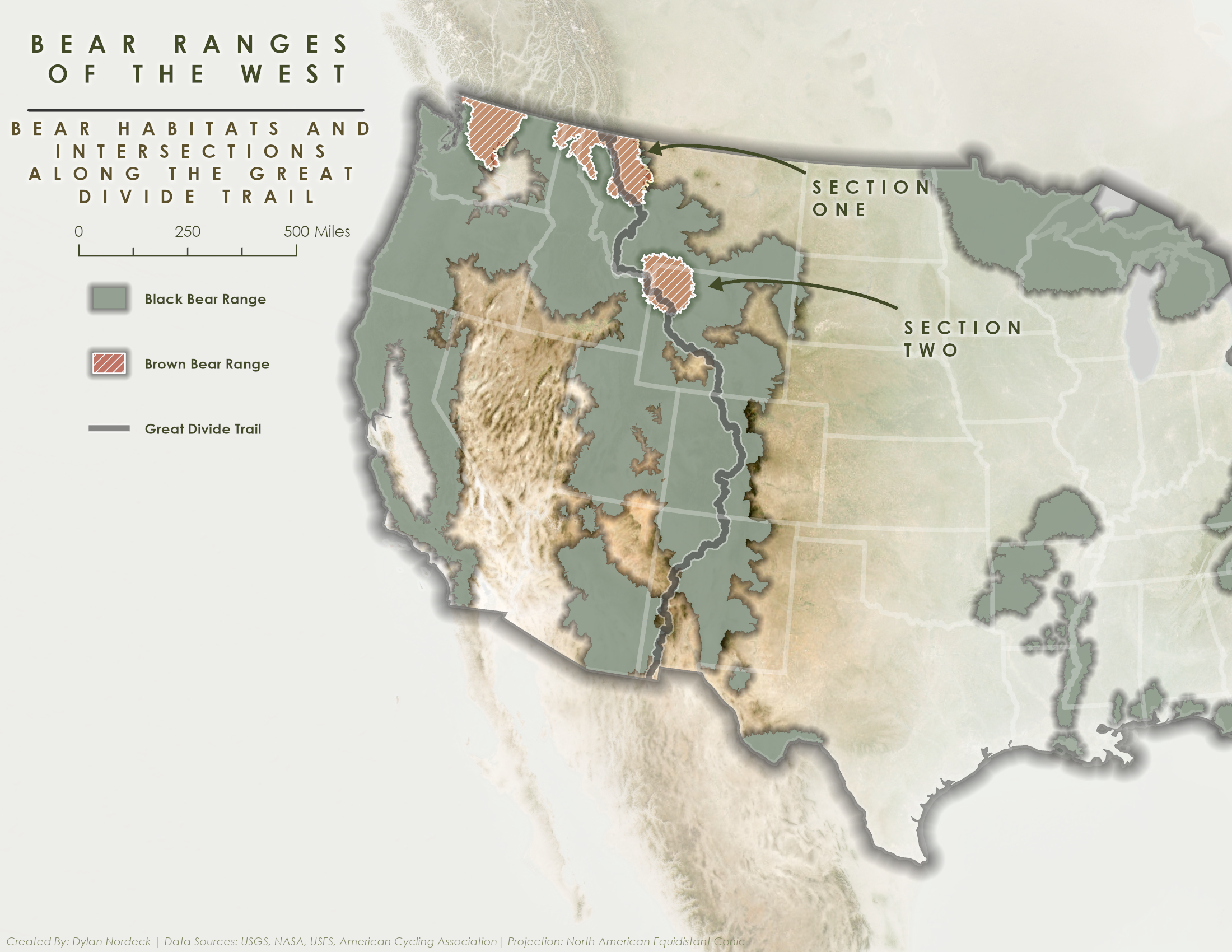
A cartographic exploration of the Great Divide Trail through western Montana, highlighting the Grizzly Ranges and surrounding topography. The map uses terrain shading, restrained color, and careful typographic hierarchy to guide the viewer along the route while preserving a calm, print-inspired aesthetic.
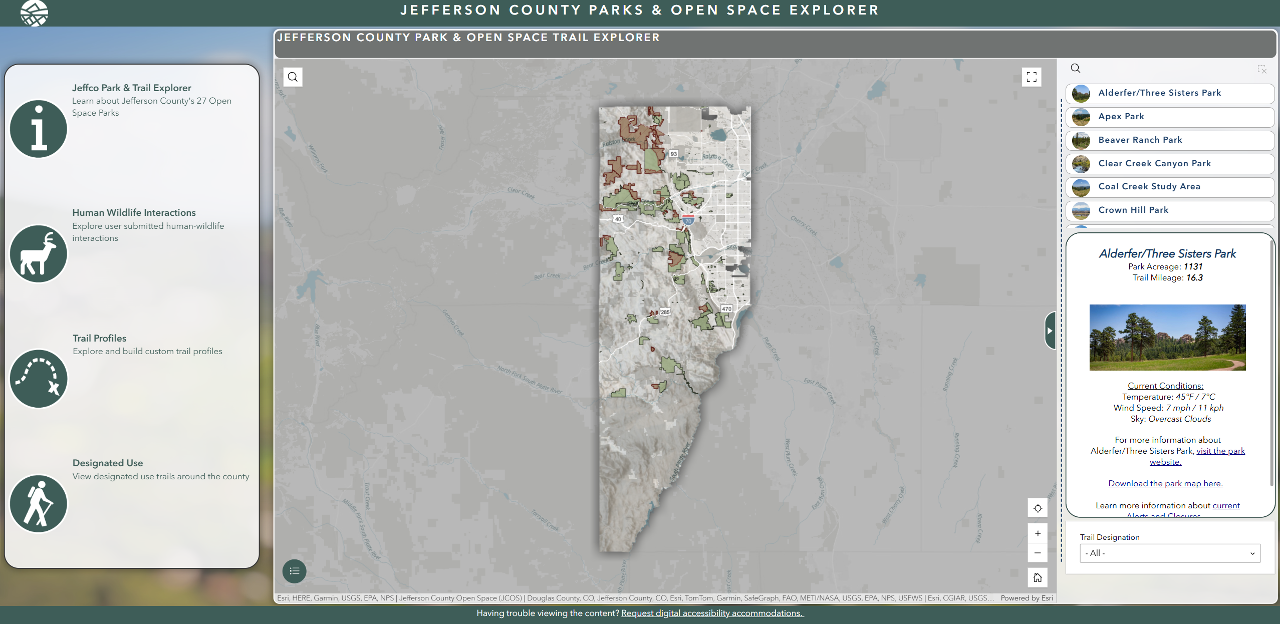
The Jefferson County Parks & Open Space Explorer is a public-facing web application designed to replace a collection of legacy dashboards and static maps with a single, accessible, and expandable platform.
Built in ArcGIS Experience Builder, the application allows users to explore parks, trails, designated uses, and human-wildlife interaction data through an intuitive, map-first interface. Emphasis was placed on clarity, performance, and accessibility, ensuring the application could serve both casual visitors and staff while meeting modern digital accessibility standards.
The Explorer was designed as a long-term foundation rather than a one-off product. Its modular structure supports additional datasets, tools, and applications as needs evolve, allowing Jefferson County Parks & Open Space to maintain a consistent public experience while continuing to expand functionality over time.
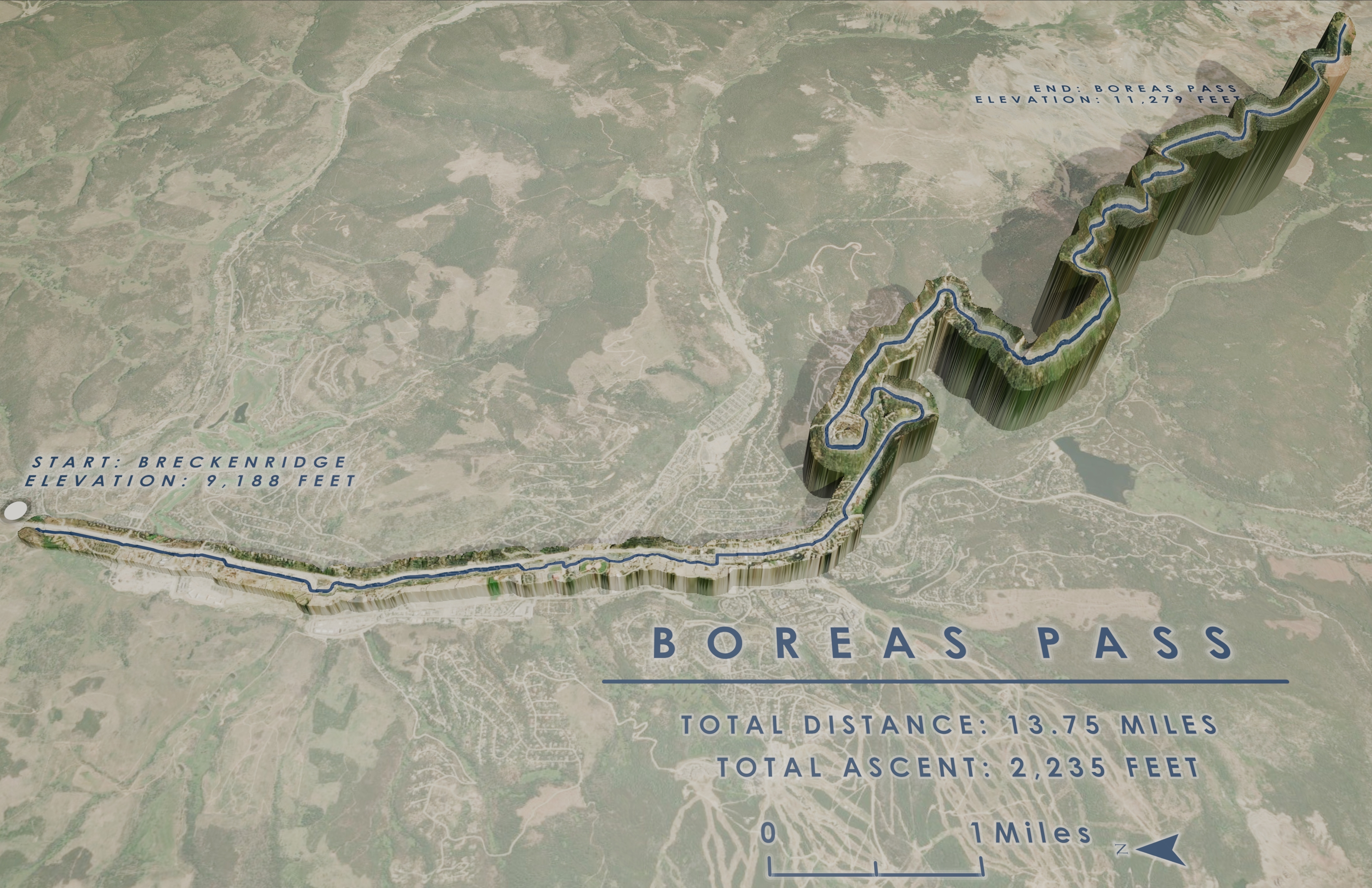
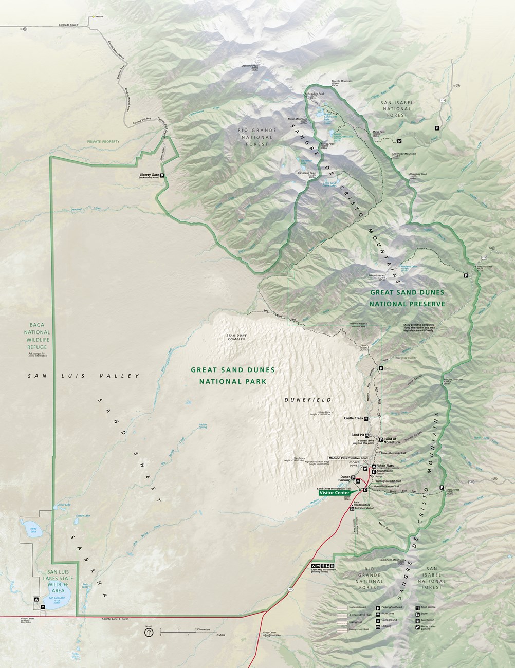
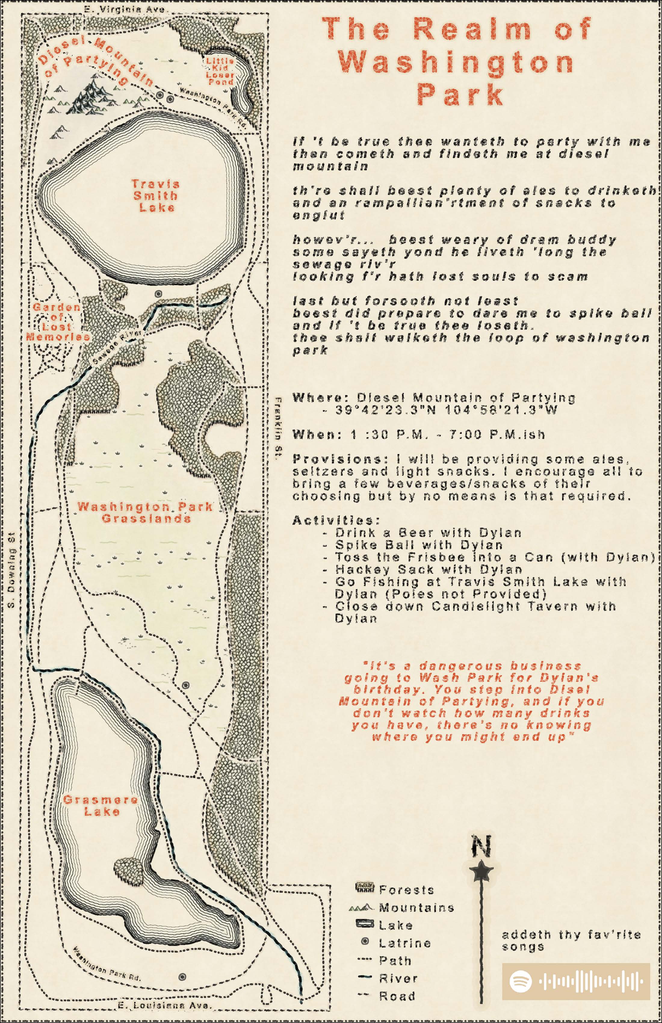
A good map doesn’t just show where things are — it explains why they matter. My work focuses on clarity, restraint, and context. Whether the audience is the public, a decision-maker, or a single reader, the goal is always the same: reduce complexity without losing meaning. Every line, color, and label earns its place.
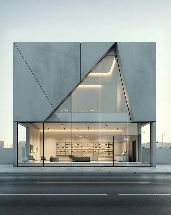
We design buildings that are purposeful, enduring, and deeply connected to their surroundings.
Concept Design
Architectural Planning
3D Visualization & Modeling
Construction Documentation
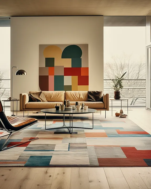
Beyond surface-level styling, we craft interiors that feel as good as they look.
Spatial Identity
Material & Finish Selection
Furniture & Lighting Design
Detail Development
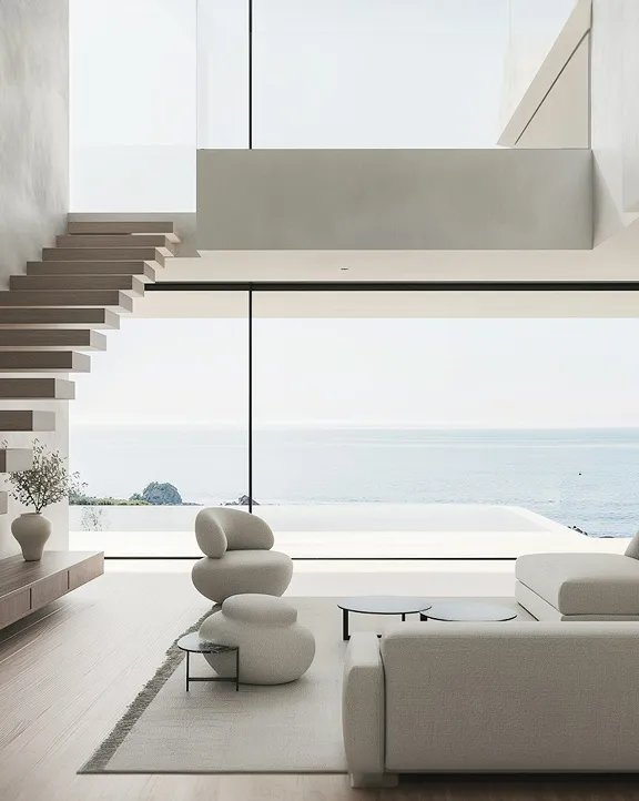
We organize environments around people, movement, and use, creating clarity, comfort, and adaptability.
Functional Zoning
Human-Centered Design
Circulation Strategy
Flexibility & Future Use
We ensure your vision is delivered on time, on budget, and to the highest standards.
Concept Design
Stakeholder Coordination
Quality Control
Budget & Timeline Tracking
If you have an idea, a dataset, or a place you’re trying to understand better, feel free to share a few details below. I’m always happy to talk through what a map could do for it.
.png)